In Stock at Supplier. Ships within 5-10 Business Days.
22 ELITE Points earned with this purchase! Earn 250 for a $10 Reward!
Not an ELITE Member? Join ELITE here
Buy Now & Pay Later With


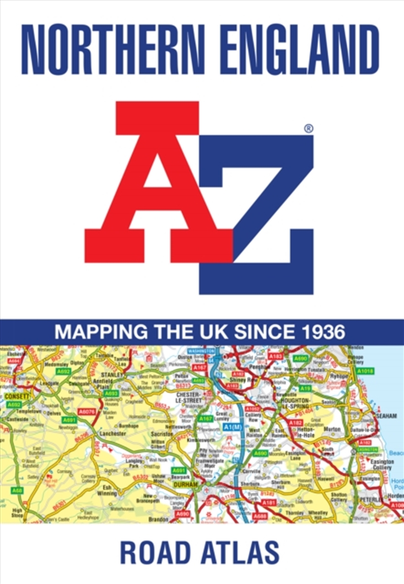
Find your way around Northern England with this fully revised and updated road atlas.
A full colour regional road atlas featuring 52 pages of road mapping.
Covers an area extending to: Berwick-upon-Tweed, Newcastle upon Tyne, Middlesbrough Kingston upon Hull, Grimsby, Boston, Nottingham, Stoke-on-Trent, Wrexham, Chester, Liverpool, Blackpool, Barrow-in-Furness, and Dumfries
The road mapping is shown at a clear 3.5 miles to 1 inch scale (2.2 km to 1 cm) and includes the following features:
Also, within this Northern England Road Atlas are 24 city, town, airport or port plans for: Blackpool, Bradford, Carlisle, Chester, Derby, Dumfries, Durham, Harrogate, Kingston upon Hull, Leeds, Lincoln, Liverpool, Manchester, Middlesbrough, Newcastle upon Tyne, Nottingham, Preston, Sheffield, Stoke-on-Trent, Sunderland, York, Manchester Airport, Kingston upon Hull Port, and Newcastle upon Tyne Port
The index section lists cities, towns, villages, hamlets and locations covered by this atlas.
Title: Northern England A-Z Road Atlas : Navigate Your Way Around Northern England with Ease Using Trusted
Format: Paperback Book
Release Date: 04 Jun 2026
Author: A-Z Maps
Sku: 3695794
Catalogue No: 9780008787493
Category: Geography

 |
Help you find exactly what you are looking for, even if you aren't sure yourself! |
|
Track down the hard to find as quickly as possible - if it's available, we will get it! |
|
Deliver fast and friendly service to every customer. |
|
Provide you with the hottest, the latest and a great range. |
|
And if you're not satisified, you can exchange or with a receipt, get your money back - no questions asked! |
 Sign In / Register