The A-Z Adventure series features the accuracy and quality of Ordnance Survey's 1:25000 mapping in a convenient book, therefore eliminating the need to fold and re-fold a large sheet map to the desired area.
The 1:25000 is Ordnance Survey's most detailed mapping showing public rights of way, open access land, national parks, tourist information, car parks, public houses and camping and caravan sites.
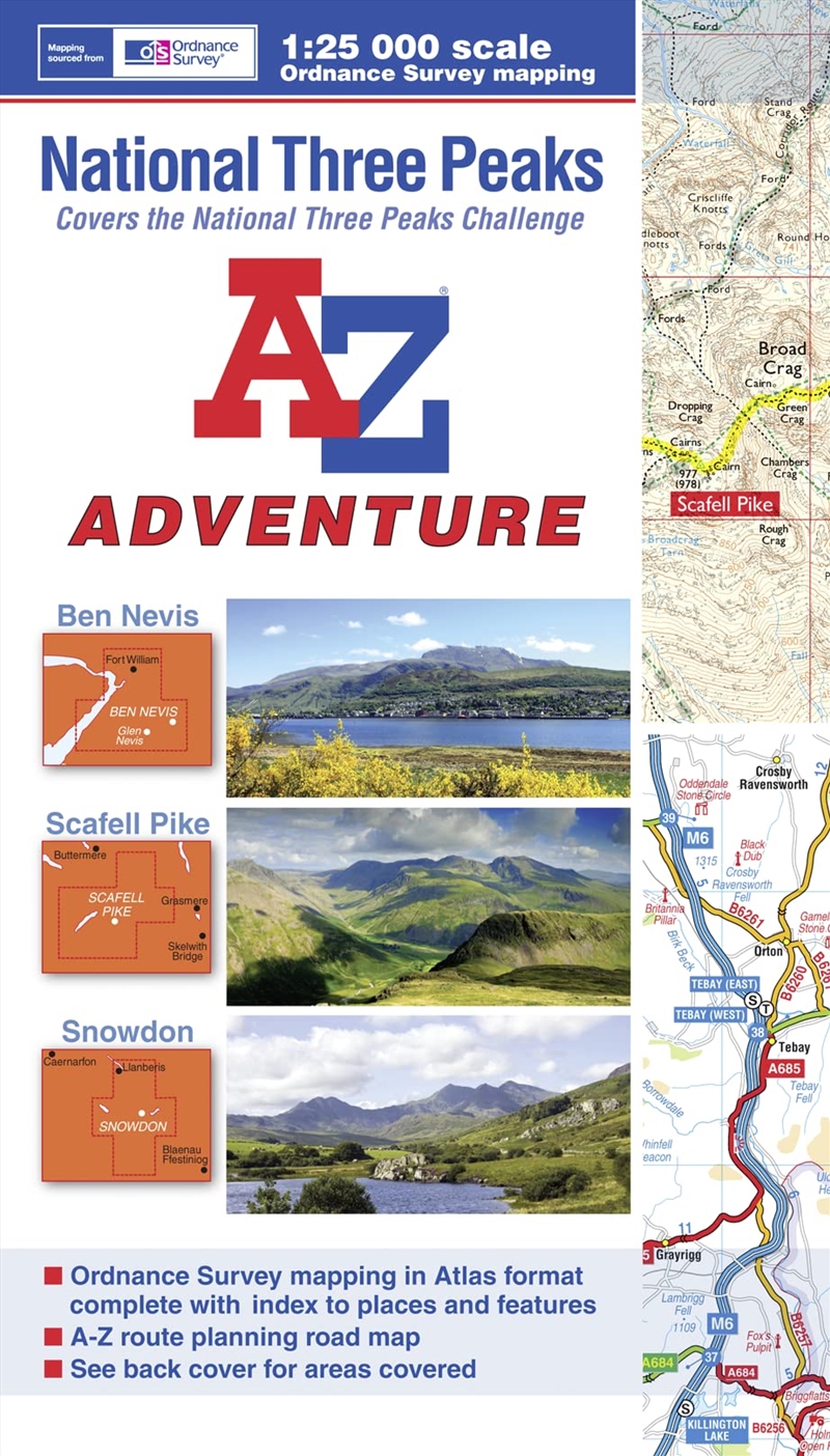
Increasingly popular, the National Three Peaks is considered to be one of the ultimate walking challenges in the UK; the objective being to climb the highest mountains in Scotland (Ben Nevis), England (Scafell Pike) and Wales (Snowdon).
The A-Z National Three Peaks Adventure Atlas is indispensable on and off the hill with 80 pages packed full of useful information, including:
•Essential planning and safety guidance
•OS 1:25000 mapping covering routes to each peak
•Both suggested and alternative routes highlighted on the map
•Route descriptions
•Start points and parking details
•Recommended kit list
•A-Z road mapping at 3.5 miles to 1 inch for travelling between peaks
•QR code access to a broad range of helpful web sites including weather reports, map reading, official bodies and safety information
•OS 1:25000 map index to natural features and locations with both page references and six figure National Grid References
•AZ road map index to cities, towns and villages
As a single publication this Adventure Atlas avoids the need to purchase multiple maps and, with a book size of 240mm x 134mm, is the same size as the standard folded OS map, making it perfect for map pockets.
The A-Z National Three Peaks Adventure Atlas is the sensible choice for those attempting the challenge and once completed, you will have a great sense of achievement.
If you want other adventures then consider these National Trails within the A-Z Adventure series: Coast to Coast, Cotswold Way, Pembrokeshire Coast Path, Pennine Way, South Downs Way, Thames Path, The Ridgeway and SW Coast Path.
Title: National Three Peaks A-Z Adventure Atlas
Format: Paperback Book
Release Date: 31 Jan 2024
Author: A-Z Maps
Sku: 3098817
Catalogue No: 9781782570639
Category: Travel & Holidays




 Sign In / Register